Contains over 350 modules to render maps and images on monitor and paper.
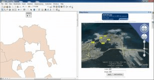
This tool, Arc2Google, combines ArcMap with Google Maps And Google Earth.
Provides a continously growing number of capabilities provided by core functions
Geospatial mapping and analysis tool with ESRI file support.
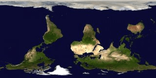
Free web3D earth map created and annotated by the public.