Include a suite of multi-criteria and multi-objective decision procedures and a scripting environment that allows the ability to control TerrSet using languages such as C++. It monitors the earth system for sustainable development. Observers future climate and assesses its impacts on sea level rise and species distributions.
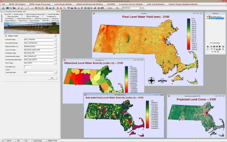
TerrSet is an integrated geospatial software system for monitoring and modeling the earth system for sustainable development. The TerrSet System incorporates the IDRISI GIS Analysis and IDRISI Image Processing tools along with a constellation of vertical applications. TerrSet offers the most extensive set of geospatial tools in the industry in a single, affordable package. There is no need to buy costly add-ons to extend your research capabilities.
Comments (1)