TerrSet 18.3

A geospatial software system for monitoring and modeling the earth system
3.1 
Rating
Your vote:
Latest version:
18.31 See all
Screenshots
1 / 1
Download

No specific info about version 18.3. Please visit the main page of TerrSet on Software Informer.

Comments (1)

3.1
Rating
7 votes
5 stars
3
4 stars
0
3 stars
1
2 stars
1
1 stars
2
User

Your vote:

G
Gebreyohannes
It is a very powerful software.

Was it helpful?  yes(0) no(0) | Reply

Related software

GRASS GIS
GRASS GIS
Free
rating

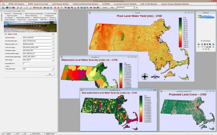
Contains over 350 modules to render maps and images on monitor and paper.

Arc2Google
Arc2Google
Free
rating

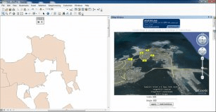
This tool, Arc2Google, combines ArcMap with Google Maps And Google Earth.

Quantum GIS
Quantum GIS
Free
rating

Provides a continously growing number of capabilities provided by core functions

Canvas X 2017 GIS
Canvas X 2017 GIS
rating

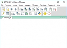
Geospatial mapping and analysis tool with ESRI file support.

Planet Earth
Planet Earth
Free
rating

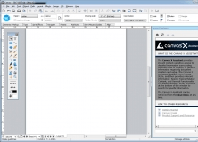
Free web3D earth map created and annotated by the public.

Related suggestions

Terrset download trial
Terrset v18.0

Tags

Modeling earth Monitor earth GIS analysis Process image Research